File:Bildsten Akebäck 11 - KMB - 16000300017606.jpg
Jump to navigation
Jump to search
Size of this preview: 400 × 600 pixels. Other resolutions: 160 × 240 pixels | 512 × 768 pixels.
Original file (512 × 768 pixels, file size: 126 KB, MIME type: image/jpeg)
Captions
Captions
Add a one-line explanation of what this file represents
| Bildsten Akebäck 11
( |
|||||||||||||||||||||||||||
|---|---|---|---|---|---|---|---|---|---|---|---|---|---|---|---|---|---|---|---|---|---|---|---|---|---|---|---|
| Photographer |
|
||||||||||||||||||||||||||
| Title |
Bildsten Akebäck 11 |
||||||||||||||||||||||||||
| Original caption |
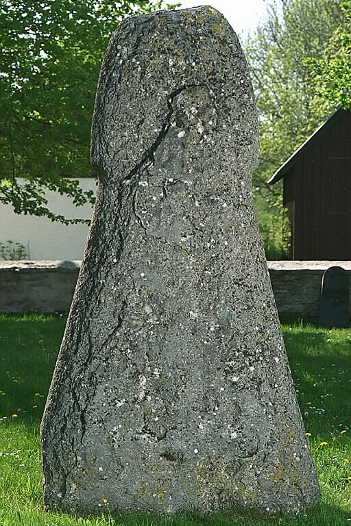
Notera Av dokumentationsskäl har originalbeskrivningen från Riksantikvarieämbetet behållits. Tillrättalägganden och alternativa beskrivningar bör införas separat från nedanstående information. Bildstenens baksida. Stenen står på Akebäcks kyrkogård.Felaktigheter kan även anmälas till denna sida. Motiv: Bildsten Akebäck 11 |
||||||||||||||||||||||||||
| Description |
Bildstenens baksida. Stenen står på Akebäcks kyrkogård.
|
||||||||||||||||||||||||||
| Depicted place | Sweden, Gotland Municipality, Akebäck socken | ||||||||||||||||||||||||||
| Date | 1 June 1995 | ||||||||||||||||||||||||||
| Collection |
|
||||||||||||||||||||||||||
| Accession number | |||||||||||||||||||||||||||
| Source |
Bengt A Lundberg / Kulturmiljöbild, Riksantikvarieämbetet
|
||||||||||||||||||||||||||
| Permission (Reusing this file) |
This file is licensed under the Creative Commons Attribution 2.5 Generic license. Attribution: Bengt A Lundberg / Riksantikvarieämbetet
|
||||||||||||||||||||||||||


| Object location | | View this and other nearby images on: OpenStreetMap |
|---|
File history
Click on a date/time to view the file as it appeared at that time.
| Date/Time | Thumbnail | Dimensions | User | Comment | |
|---|---|---|---|---|---|
| current | 21:22, 9 June 2017 | | 512 × 768 (126 KB) | AndreCostaWMSE-bot (talk | contribs) | {{Kulturmiljöbild-image | short title = Bildsten Akebäck 11 | original description = Bildstenens baksida. Stenen står på Akebäcks kyrkogård.<br> Motiv: Bildsten Akebäck 11<br> Kategori: Bildristning | wiki description = Bildstenens baksida. Sten... |
You cannot overwrite this file.
File usage on Commons
The following 2 pages use this file:
File usage on other wikis
The following other wikis use this file:
- Usage on sv.wikipedia.org