File:Bildsten Bro Eriks 1 (Suderbys 1) - KMB - 16000300015459.jpg
Jump to navigation
Jump to search
Size of this preview: 400 × 600 pixels. Other resolutions: 160 × 240 pixels | 512 × 768 pixels.
Original file (512 × 768 pixels, file size: 99 KB, MIME type: image/jpeg)
Captions
Captions
Add a one-line explanation of what this file represents
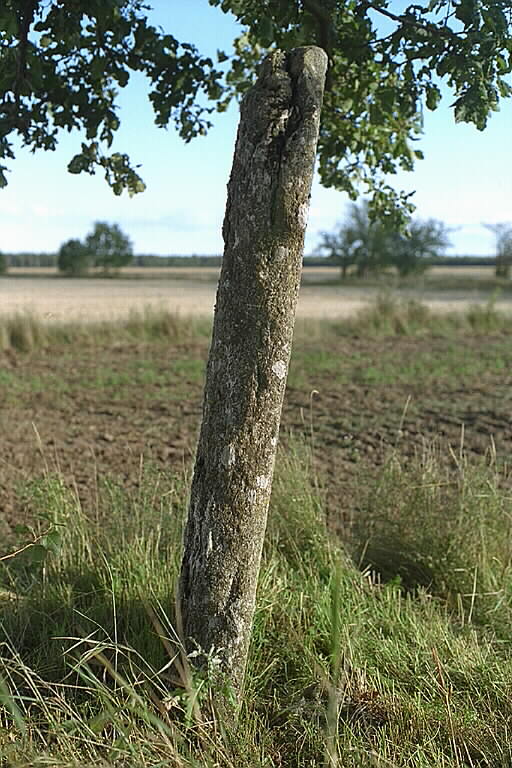
| Bildsten Bro Eriks 1 (Suderbys 1)
( |
|||||||||||||||||||||||||||
|---|---|---|---|---|---|---|---|---|---|---|---|---|---|---|---|---|---|---|---|---|---|---|---|---|---|---|---|
| Photographer |
|
||||||||||||||||||||||||||
| Title |
Bildsten Bro Eriks 1 (Suderbys 1) |
||||||||||||||||||||||||||
| Original caption |
Notera Av dokumentationsskäl har originalbeskrivningen från Riksantikvarieämbetet behållits. Tillrättalägganden och alternativa beskrivningar bör införas separat från nedanstående information. Motiv: Bildsten Bro 48:1Felaktigheter kan även anmälas till denna sida. Kategori: Bildristning |
||||||||||||||||||||||||||
| Description |
. Bildsten Bro 48:1.
|
||||||||||||||||||||||||||
| Depicted place | Sweden, Gotland Municipality, Bro socken | ||||||||||||||||||||||||||
| Date | 31 August 1994 | ||||||||||||||||||||||||||
| Collection |
|
||||||||||||||||||||||||||
| Accession number | |||||||||||||||||||||||||||
| Source |
Bengt A Lundberg / Kulturmiljöbild, Riksantikvarieämbetet
|
||||||||||||||||||||||||||
| Permission (Reusing this file) |
This file is licensed under the Creative Commons Attribution 2.5 Generic license. Attribution: Bengt A Lundberg / Riksantikvarieämbetet
|
||||||||||||||||||||||||||


| Object location | | View this and other nearby images on: OpenStreetMap |
|---|
_-_KMB_-_16000300015459.jpg¶ms=057.657660_N_0018.471960_E_globe:Earth_class:object_type:object__&language=en)
File history
Click on a date/time to view the file as it appeared at that time.
| Date/Time | Thumbnail | Dimensions | User | Comment | |
|---|---|---|---|---|---|
| current | 06:18, 10 June 2017 | | 512 × 768 (99 KB) | AndreCostaWMSE-bot (talk | contribs) | {{Kulturmiljöbild-image | short title = Bildsten Bro Eriks 1 (Suderbys 1) | original description = Motiv: Bildsten Bro 48:1<br> Kategori: Bildristning | wiki description = . Bildsten Bro 48:1. {{Fornminne|10090200480001}} | photographer = {{Creator:B... |
You cannot overwrite this file.
File usage on Commons
The following page uses this file:
_-_KMB_-_16000300015459.jpg)
File usage on other wikis
The following other wikis use this file:
- Usage on de.wikipedia.org
_-_KMB_-_16000300015459.jpg&oldid=823753446)