File:Germany location map.svg

File originale (file in formato SVG, dimensioni nominali 1 073 × 1 272 pixel, dimensione del file: 452 KB)
Didascalie
Didascalie
Dettagli
| Descrizione |
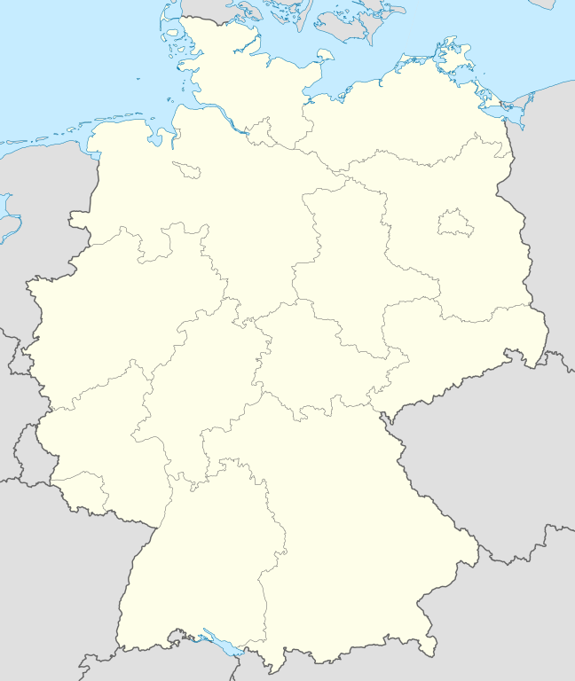
Quadratische Plattkarte, N-S-Streckung 150 %. Geographische Begrenzung der Karte:
Equirectangular projection, N/S stretching 150 %. Geographic limits of the map:
Français : Carte de l'Allemagne |
||
| Data | |||
| Fonte | Opera propria, using United States National Imagery and Mapping Agency data | ||
| Autore | NordNordWest | ||
| Altre versioni |
Opere derivate da questo file:
Bundesrepublik Deutschland (vor 1990 nur West-Deutschland):
Deutsche Demokratische Republik (mit BRD im Ausschnitt):
Ostdeutschland (vor 1990 Deutsche Demokratische Republik):
Deutschland zwischen Mai 1945 und Oktober 1949:
Thematisch:
Deutsches Reich (1918–1945) (best used with this template (de)):
|
||
| SVG sviluppo | Il codice sorgente di questo file SVG non è valido a causa di 9 errori. Questa mappa in grafica vettoriale non valida secondo il W3C è stata creata con Adobe Illustrator.
|


_23_May_1949_-_6_Oct_1949.svg)


_location_map.svg)
_location_map_2013.svg)


_location_map.svg)
Licenza

|
È permesso copiare, distribuire e/o modificare questo documento in base ai termini della GNU Free Documentation License, Versione 1.2 o successive pubblicata dalla Free Software Foundation; senza alcuna sezione non modificabile, senza testo di copertina e senza testo di quarta di copertina. Una copia della licenza è inclusa nella sezione intitolata Testo della GNU Free Documentation License. |
- Tu sei libero:
- di condividere – di copiare, distribuire e trasmettere quest'opera
- di modificare – di adattare l'opera
- Alle seguenti condizioni:
- attribuzione – Devi fornire i crediti appropriati, un collegamento alla licenza e indicare se sono state apportate modifiche. Puoi farlo in qualsiasi modo ragionevole, ma non in alcun modo che suggerisca che il licenziante approvi te o il tuo uso.
- condividi allo stesso modo – Se remixi, trasformi o sviluppi il materiale, devi distribuire i tuoi contributi in base alla stessa licenza o compatibile all'originale.
Cronologia del file
Fare clic su un gruppo data/ora per vedere il file come si presentava nel momento indicato.
| Data/Ora | Miniatura | Dimensioni | Utente | Commento | |
|---|---|---|---|---|---|
| attuale | 12:51, 16 set 2013 | | 1 073 × 1 272 (452 KB) | SokoWiki (discussione | contributi) | Clearer borders. |
| 08:34, 16 set 2013 |  | 1 073 × 1 272 (452 KB) | NordNordWest (discussione | contributi) | Reverted to version as of 12:32, 2 October 2012; didn't make anything better | |
| 08:34, 16 set 2013 |  | 1 073 × 1 272 (452 KB) | NordNordWest (discussione | contributi) | Reverted to version as of 12:32, 2 October 2012; didn't make anything better | |
| 20:08, 15 set 2013 |  | 1 073 × 1 272 (451 KB) | SokoWiki (discussione | contributi) | * | |
| 12:32, 2 ott 2012 |  | 1 073 × 1 272 (452 KB) | Palosirkka (discussione | contributi) | Reverted to version as of 20:14, 5 August 2012 Location maps must remain very accurate | |
| 05:40, 2 ott 2012 |  | 1 073 × 1 272 (396 KB) | Palosirkka (discussione | contributi) | Scrubbed with http://codedread.com/scour/ | |
| 20:14, 5 ago 2012 |  | 1 073 × 1 272 (452 KB) | NordNordWest (discussione | contributi) | upd | |
| 10:03, 19 gen 2010 |  | 1 073 × 1 272 (490 KB) | NordNordWest (discussione | contributi) | update | |
| 08:33, 22 lug 2009 |  | 1 075 × 1 273 (608 KB) | NordNordWest (discussione | contributi) | c | |
| 14:36, 13 ott 2008 |  | 1 075 × 1 273 (606 KB) | NordNordWest (discussione | contributi) |
Impossibile sovrascrivere questo file.
Utilizzo del file
Più di 100 pagine usano questo file. Di seguito sono elencate solo le prime 100 pagine che usano questo file. È disponibile un elenco completo.
- Bad Hersfeld
- Billigheim
- Deutschland
- Helmstedt
- Info:Kusterdingen
- Info:Mössingen
- Kusterdingen
- Mosbach
- Nentershausen
- Oberpleis
- Ruppichteroth
- Wilhelmsstift Tübingen
- User:Antonyrobin02
- User:Daniel Mietchen/Category:Images used by media organizations but violating license terms
- User:NordNordWest/Gallery/Location maps
- User:PMMKALYAN
- User:Sekamor
- User talk:Mmh
- User talk:NordNordWest/Archive
- User talk:Sting/Archive 01
- Commons:Overwriting existing files
- Commons:Overwriting existing files/cs
- Commons:Overwriting existing files/de
- Commons:Overwriting existing files/en
- Commons:Overwriting existing files/es
- Commons:Overwriting existing files/fr
- Commons:Overwriting existing files/ja
- Commons:Overwriting existing files/pl
- Commons:Overwriting existing files/pt
- Commons:Overwriting existing files/ru
- Commons talk:Project Mapmaking Wiki Standards
- File:Ambulante Kinderhospizdienste in Deutschland.PNG
- File:Auerbach (Karlsbad) location map.svg
- File:Bahnhoefe Wuerzburg.png
- File:Dat-das-Linie.png
- File:Deutschland.svg
- File:Deutschland Autobahnen.svg
- File:Deutschland Lage von Baden.svg
- File:Deutschland Lage von Württemberg-Baden.svg
- File:Deutschland Lage von Württemberg-Hohenzollern.svg
- File:East-West-Germany-October 1949-July 1952.svg
- File:East Germany location map.svg
- File:Germany, Federal Republic of location map 23 May 1949 - 6 Oct 1949.svg
- File:Germany, Federal Republic of location map April 1952 - August 1955.svg
- File:Germany, Federal Republic of location map December 1950 - April 1952.svg
- File:Germany, Federal Republic of location map January 1957 - October 1990.svg
- File:Germany, Federal Republic of location map October 1949 - November 1950.svg
- File:Germany, Federal Republic of location map September 1955 - December 1956.svg
- File:Germany, German Democratic Republic location map January 1957 - October 1990.svg
- File:Germany, German Democratic Republic location map July 1952 - January 1957.svg
- File:Germany, German Democratic Republic location map October 1949 - July 1952.svg
- File:Germany, German Democratic Republic location map w·o FRG July 1952 - October 1990.svg
- File:Germany, German Democratic Republic location map w·o FRG October 1949 - June 1952.svg
- File:Germany, location map (SBZ perspective) 23 May 1949 - 6 Oct 1949.svg
- File:Germany2 location map.svg
- File:Germany (+districts +municipalities) location map.png
- File:Germany (+districts +municipalities) location map current.svg
- File:Germany Eishockey Oberliga 2008-09.svg
- File:Germany location map-bundesliga1.png
- File:Germany location map.svg
- File:Germany location map 23 April 1949 - 22 May 1949.svg
- File:Germany location map 8 Jun 1947 - 22 Apr 1949.svg
- File:Germany location map April 1992 - July 1992.svg
- File:Germany location map August 1992 - June 1993.svg
- File:Germany location map July 1993 - December 2009.svg
- File:Germany location map October 1990 - March 1992.svg
- File:Germany location map labeled 8 Jun 1947 - 22 Apr 1949.svg
- File:Germany location map neustadt waldnaab.svg
- File:Glacis Minden.svg
- File:Glacis Minden cropped.jpg
- File:Glacis Minden cropped neu.jpg
- File:Häfen Minden.svg
- File:JWP-Karte-Deutschland.svg
- File:KRB location map.png
- File:Karte Deutschland.png
- File:Karte Deutschland.svg
- File:Karte konstanz in deutschland.png
- File:Lage Freiberg in Deutschland.png
- File:Locator map Corvey.svg
- File:Position der Analytischen Task Forces des Bundes.svg
- File:Reg-sparkassenverbaende-dtl.png
- File:Relief Map of Germany.png
- File:Relief Map of Germany.svg
- File:Salt mining in germany.png
- File:Senne-Bahn.png
- Template:Germany location map/other versions
- Template:Infobox settlement
- Template:Positionskarte
- Category:Ammerbuch
- Category:Bad Niedernau
- Category:Baisingen
- Category:Bodelshausen
- Category:Dußlingen
- Category:Gomaringen
- Category:Gütersloh
- Category:Hirrlingen
- Category:Königslutter am Elm
- Category:Neustetten
- Category:Ofterdingen
- Category:Rottenburg am Neckar
_location_map.png)
_location_map_current.svg)
Visualizza altri collegamenti a questo file.
Utilizzo globale del file
Anche i seguenti wiki usano questo file:
- Usato nelle seguenti pagine di af.wikipedia.org:
- Usato nelle seguenti pagine di als.wikipedia.org:
- Weil der Stadt
- Schopfheim
- Rheinfelden (Baden)
- Rümmingen
- Lörrach
- Kehl
- Steinen (Baden)
- Weil am Rhein
- Bad Säckingen
- Freiburg im Breisgau
- Schwörstadt
- Augsburg
- Zell im Wiesental
- Maulburg
- Offenburg
- Ötigheim
- Hamburg
- Renchen
- Konstanz
- Furtwangen im Schwarzwald
- Görwihl
- Ebringen
- Müllheim im Markgräflerland
- Pfaffenweiler
- Calw
- Au (Breisgau)
- Merzhausen
- Sölden (Schwarzwald)
- Schallstadt
- Bollschweil
- Ehrenkirchen
- Wittnau (Breisgau)
- Vörstetten
- Achern
- Wehr (Baden)
- Vogtsburg im Kaiserstuhl
Visualizza l'utilizzo globale di questo file.