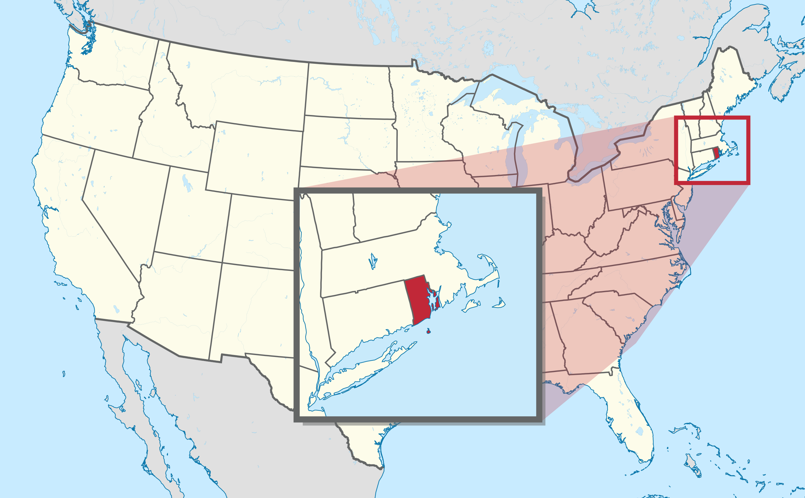
File:Rhode Island in United States (zoom) (extra close) (US48).svg
跳至導覽
跳至搜尋

此 SVG 檔案的 PNG 預覽的大小:800 × 495 像素。 其他解析度:320 × 198 像素 | 640 × 396 像素 | 1,024 × 634 像素 | 1,280 × 792 像素 | 2,560 × 1,585 像素 | 1,181 × 731 像素。
原始檔案 (SVG 檔案,表面大小:1,181 × 731 像素,檔案大小:1.28 MB)
說明
說明
添加單行說明來描述出檔案所代表的內容
摘要
[編輯].svg)
.svg)
.svg)
.svg)
.svg)
.svg)
.svg)

-en.svg)

.svg)
.svg)
.svg)

_(US48).svg)
_(small_islands_magnified)_(-mini_map_-rivers).svg)
.svg)
_(extra_close)_(US48).svg)
.svg)
_(zoom).svg)

.svg)


_(UNMIK).svg)
.svg)
_(disputed_hatched).svg)
_(claimed_and_disputed_hatched).svg)
.svg)
.svg)
_(%2Ball_claims_hatched).svg)

.svg)
_(shade).svg)
_(shade)_(special_marker).svg)
_(-mini_map).svg)
_(-mini_map).svg)
_(-mini_map).svg)


.svg)

.svg)
_(extra_close)_(US48).svg&action=edit§ion=1)
授權條款
[編輯]_(extra_close)_(US48).svg&action=edit§ion=2)
我,本作品的著作權持有者,決定用以下授權條款發佈本作品:

|
已授權您依據自由軟體基金會發行的無固定段落、封面文字和封底文字GNU自由文件授權條款1.2版或任意後續版本,對本檔進行複製、傳播和/或修改。該協議的副本列在GNU自由文件授權條款中。 |
此檔案採用共享創意 姓名標示-相同方式分享 3.0 未在地化版本授權條款。
- 您可以自由:
- 分享 – 複製、發佈和傳播本作品
- 重新修改 – 創作演繹作品
- 惟需遵照下列條件:
- 姓名標示 – 您必須指名出正確的製作者,和提供授權條款的連結,以及表示是否有對內容上做出變更。您可以用任何合理的方式來行動,但不得以任何方式表明授權條款是對您許可或是由您所使用。
- 相同方式分享 – 如果您利用本素材進行再混合、轉換或創作,您必須基於如同原先的相同或兼容的條款,來分布您的貢獻成品。
您可以選擇您需要的授權條款。

|
如果在維基百科或共享資源之外使用,您將此媒體檔案歸於維基共享資源,我將不勝感激。要在書籍、報紙、博客、網站等出版物中使用,請插入這以下行:
|
_(extra_close)_(US48).svg&action=edit&redlink=1)
檔案歷史
點選日期/時間以檢視該時間的檔案版本。
| 日期/時間 | 縮圖 | 尺寸 | 用戶 | 備註 | |
|---|---|---|---|---|---|
| 目前 | 2012年9月12日 (三) 12:54 | | 1,181 × 731(1.28 MB) | Palosirkka(對話 | 貢獻) | Scrubbed with http://codedread.com/scour/ |
| 2011年7月30日 (六) 21:59 |  | 1,181 × 731(2.44 MB) | TUBS(對話 | 貢獻) | corr | |
| 2011年7月30日 (六) 21:31 |  | 1,181 × 731(2.44 MB) | TUBS(對話 | 貢獻) |
無法覆蓋此檔案。
檔案用途
超過 100 個頁面有用到此檔案。 下列清單只列出前 100 筆有用到此檔案的頁面。 您也可以檢視完整清單。
_(extra_close)_(US48).svg)
- User:Yug
- File:Lage des Alb-Donau-Kreises in Deutschland.png
- File:Lage des Bodenseekreises in Deutschland.png
- File:Lage des Landkreises Biberach in Deutschland.png
- File:Lage des Landkreises Loerrach in Deutschland.png
- File:Locator map AC (city) in Germany.svg
- File:Locator map AC (district) in Germany.svg
- File:Locator map AC (region) in Germany.svg
- File:Locator map BGL in Bavaria.svg
- File:Locator map BI in Germany.svg
- File:Locator map BM in Germany.svg
- File:Locator map BN in Germany.svg
- File:Locator map BOR in Germany.svg
- File:Locator map BOT in Germany.svg
- File:Locator map BO in Germany.svg
- File:Locator map Baden-Württemberg in Germany.svg
- File:Locator map Bavaria in Germany.svg
- File:Locator map Berlin in Germany.svg
- File:Locator map Brandenburg in Germany.svg
- File:Locator map Bremen in Germany.svg
- File:Locator map COE in Germany.svg
- File:Locator map DN in Germany.svg
- File:Locator map DO in Germany.svg
- File:Locator map DU in Germany.svg
- File:Locator map D in Germany.svg
- File:Locator map EN in Germany.svg
- File:Locator map EU in Germany.svg
- File:Locator map E in Germany.svg
- File:Locator map FN in Baden-Württemberg.svg
- File:Locator map GE in Germany.svg
- File:Locator map GL in Germany.svg
- File:Locator map GM in Germany.svg
- File:Locator map GT in Germany.svg
- File:Locator map HAM in Germany.svg
- File:Locator map HA in Germany.svg
- File:Locator map HB (Bremen) in Germany.svg
- File:Locator map HB (Bremerhaven) in Germany.svg
- File:Locator map HER in Germany.svg
- File:Locator map HF in Germany.svg
- File:Locator map HSK in Germany.svg
- File:Locator map HS in Germany.svg
- File:Locator map HX in Germany.svg
- File:Locator map Hamburg in Germany.svg
- File:Locator map Hesse in Germany.svg
- File:Locator map KLE in Germany.svg
- File:Locator map KR in Germany.svg
- File:Locator map KS in Germany.svg
- File:Locator map K in Germany.svg
- File:Locator map LEV in Germany.svg
- File:Locator map LIP in Germany.svg
- File:Locator map LVR in Germany.svg
- File:Locator map LWL in Germany.svg
- File:Locator map Lower-Saxony in Germany.svg
- File:Locator map ME in Germany.svg
- File:Locator map MG in Germany.svg
- File:Locator map MH in Germany.svg
- File:Locator map MI in Germany.svg
- File:Locator map MK in Germany.svg
- File:Locator map MS in Germany.svg
- File:Locator map Mecklenburg-Vorpommern in Germany.svg
- File:Locator map NE in Germany.svg
- File:Locator map NF in Germany.svg
- File:Locator map North Rhine-Westphalia in Germany.svg
- File:Locator map OB in Germany.svg
- File:Locator map OE in Germany.svg
- File:Locator map OS in Germany.svg
- File:Locator map PB in Germany.svg
- File:Locator map RB AR in Germany.svg
- File:Locator map RB DT in Germany.svg
- File:Locator map RB D in Germany.svg
- File:Locator map RB K in Germany.svg
- File:Locator map RB MS in Germany.svg
- File:Locator map RE in Germany.svg
- File:Locator map RS in Germany.svg
- File:Locator map RVR in Germany.svg
- File:Locator map Rhineland-Palatinate in Germany.svg
- File:Locator map SG in Germany.svg
- File:Locator map SI in Germany.svg
- File:Locator map SLS in Saarland.svg
- File:Locator map SO in Germany.svg
- File:Locator map ST in Germany.svg
- File:Locator map SU in Germany.svg
- File:Locator map Saarland in Germany.svg
- File:Locator map Saxony-Anhalt in Germany.svg
- File:Locator map Saxony in Germany.svg
- File:Locator map Schleswig-Holstein in Germany.svg
- File:Locator map Thuringia in Germany.svg
- File:Locator map UN in Germany.svg
- File:Locator map VIE in Germany.svg
- File:Locator map WAF in Germany.svg
- File:Locator map WES in Germany.svg
- File:Locator map WIL in Rhineland-Palatinate.svg
- File:Locator map W in Germany.svg
- File:Municipio 1 in Milan.svg
- File:Municipio 2 in Milan.svg
- File:Municipio 3 in Milan.svg
- File:Municipio 4 in Milan.svg
- File:Municipio 5 in Milan.svg
- File:Municipio 6 in Milan.svg
- File:Municipio 7 in Milan.svg
_in_Germany.svg)
_in_Germany.svg)
_in_Germany.svg)
_in_Germany.svg)
_in_Germany.svg)
檢視連結到這個檔案的更多連結。
全域檔案使用狀況
以下其他 wiki 使用了這個檔案:
- be.wikipedia.org 的使用狀況
- el.wikipedia.org 的使用狀況
- eml.wikipedia.org 的使用狀況
- en.wikipedia.org 的使用狀況
- Mount Hope Bridge
- Rhode Island State House
- Ladd Observatory
- Block Island Southeast Light
- Point Judith Light
- Rose Island Light
- Wilcox Park
- National Register of Historic Places listings in Rhode Island
- Roger Williams National Memorial
- Pawtuxet Village
- Newport Harbor Light
- Beneficent Congregational Church
- The Towers (Narragansett, Rhode Island)
- Redwood Library and Athenaeum
- Ida Lewis Rock Light
- Fleur-de-lys Studios
- National Register of Historic Places listings in Bristol County, Rhode Island
- National Register of Historic Places listings in Kent County, Rhode Island
- National Register of Historic Places listings in Newport County, Rhode Island
- National Register of Historic Places listings in Providence County, Rhode Island
- National Register of Historic Places listings in Washington County, Rhode Island
- Old State House (Providence, Rhode Island)
- College Hill Historic District (Providence, Rhode Island)
- John N. A. Griswold House
- National Register of Historic Places listings in Providence, Rhode Island
- National Register of Historic Places listings in Pawtucket, Rhode Island
- Providence City Hall
- Belton Court
- Bristol Ferry Light
- Hog Island Shoal Light
- Nayatt Point Light
- William Whalley Homestead
- Fort Hamilton Historic District
- Charles H. Baldwin House
- Tiverton Four Corners Historic District
- Block Island North Light
- Plum Beach Light
- Bourne Mill (Tiverton, Rhode Island)
- Cook–Bateman Farm
- Little Compton Common Historic District
檢視此檔案的更多全域使用狀況。
_(extra_close)_(US48).svg)
_(extra_close)_(US48).svg&oldid=564312815)