File:Sölvesborgs slott - KMB - 16000300029824.jpg
Jump to navigation
Jump to search

Size of this preview: 397 × 599 pixels. Other resolutions: 159 × 240 pixels | 487 × 735 pixels.
Original file (487 × 735 pixels, file size: 104 KB, MIME type: image/jpeg)
Captions
Captions
Add a one-line explanation of what this file represents
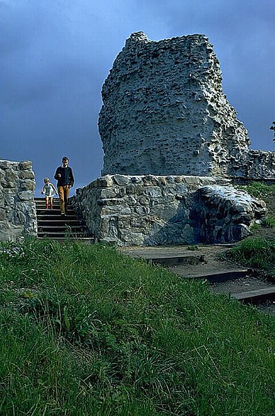
| Sölvesborgs slott
( |
|||||||||||||||||||||||||||
|---|---|---|---|---|---|---|---|---|---|---|---|---|---|---|---|---|---|---|---|---|---|---|---|---|---|---|---|
| Photographer |
|
||||||||||||||||||||||||||
| Title |
Sölvesborgs slott |
||||||||||||||||||||||||||
| Original caption |
Notera Av dokumentationsskäl har originalbeskrivningen från Riksantikvarieämbetet behållits. Tillrättalägganden och alternativa beskrivningar bör införas separat från nedanstående information. RAÄ-nummer Sölvesborg 17:1. Slottsruin. Bilden troligen från omkring 1970.Felaktigheter kan även anmälas till denna sida. Motiv: Sölvesborg 17:1 |
||||||||||||||||||||||||||
| Description |
RAÄ-nummer Sölvesborg 17:1. Slottsruin. Bilden troligen från omkring 1970. Sölvesborg 17:1.
|
||||||||||||||||||||||||||
| Depicted place | Sweden, Sölvesborg Municipality, Sölvesborg Parish | ||||||||||||||||||||||||||
| Date | Unknown date | ||||||||||||||||||||||||||
| Collection |
|
||||||||||||||||||||||||||
| Accession number | |||||||||||||||||||||||||||
| Source |
Pål-Nils Nilsson / Kulturmiljöbild, Riksantikvarieämbetet
|
||||||||||||||||||||||||||
| Permission (Reusing this file) |
This file is licensed under the Creative Commons Attribution 2.5 Generic license. Attribution: Pål-Nils Nilsson / Riksantikvarieämbetet
|
||||||||||||||||||||||||||


| Object location | | View this and other nearby images on: OpenStreetMap |
|---|
File history
Click on a date/time to view the file as it appeared at that time.
| Date/Time | Thumbnail | Dimensions | User | Comment | |
|---|---|---|---|---|---|
| current | 18:38, 20 June 2022 | | 487 × 735 (104 KB) | Nasko (talk | contribs) | Cropped 5 % horizontally, 4 % vertically using CropTool with lossless mode. |
| 23:49, 9 June 2017 |  | 512 × 768 (106 KB) | AndreCostaWMSE-bot (talk | contribs) | {{Kulturmiljöbild-image | short title = Sölvesborgs slott | original description = RAÄ-nummer Sölvesborg 17:1. Slottsruin. Bilden troligen från omkring 1970.<br> Motiv: Sölvesborg 17:1<br> Nyckelord: Riksintressen<br> Kategori: Slott/herresäte |... |
You cannot overwrite this file.
File usage on Commons
The following 3 pages use this file: