File:China Xinjiang location map.svg
跳转到导航
跳转到搜索

此SVG文件的PNG预览的大小:686 × 599像素。 其他分辨率:275 × 240像素 | 550 × 480像素 | 879 × 768像素 | 1,172 × 1,024像素 | 2,345 × 2,048像素 | 2,220 × 1,939像素。
原始文件 (SVG文件,尺寸为2,220 × 1,939像素,文件大小:464 KB)
说明
说明
添加一行文字以描述该文件所表现的内容
摘要
[编辑]| 描述 |
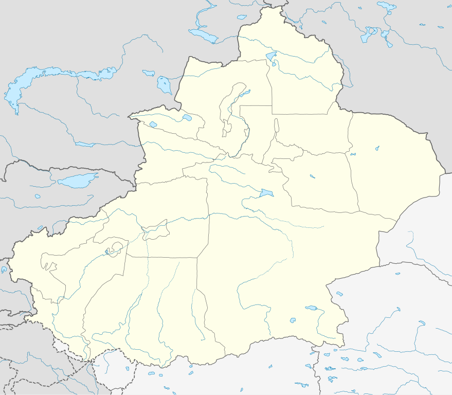
Deutsch: Positionskarte von Xinjiang, Volksrepublik China im Jahr 2010
Quadratische Plattkarte, N-S-Streckung 135 %. Geographische Begrenzung der Karte:
English: Location map of Xinjiang, People's Republic of China, in 2010
Equirectangular projection, N/S stretching 135 %. Geographic limits of the map:
|
|
| 日期 | ||
| 来源 |
自己的作品, using
|
|
| 作者 | NordNordWest | |
| 授权 (二次使用本文件) |
本文件采用知识共享署名-相同方式共享 3.0 德国许可协议授权。
 本文件采用知识共享署名-相同方式共享 3.0 德国许可协议授权。
|
|
| 其他版本 |
|
|
| SVG开发 |


文件历史
点击某个日期/时间查看对应时刻的文件。
| 日期/时间 | 缩略图 | 大小 | 用户 | 备注 | |
|---|---|---|---|---|---|
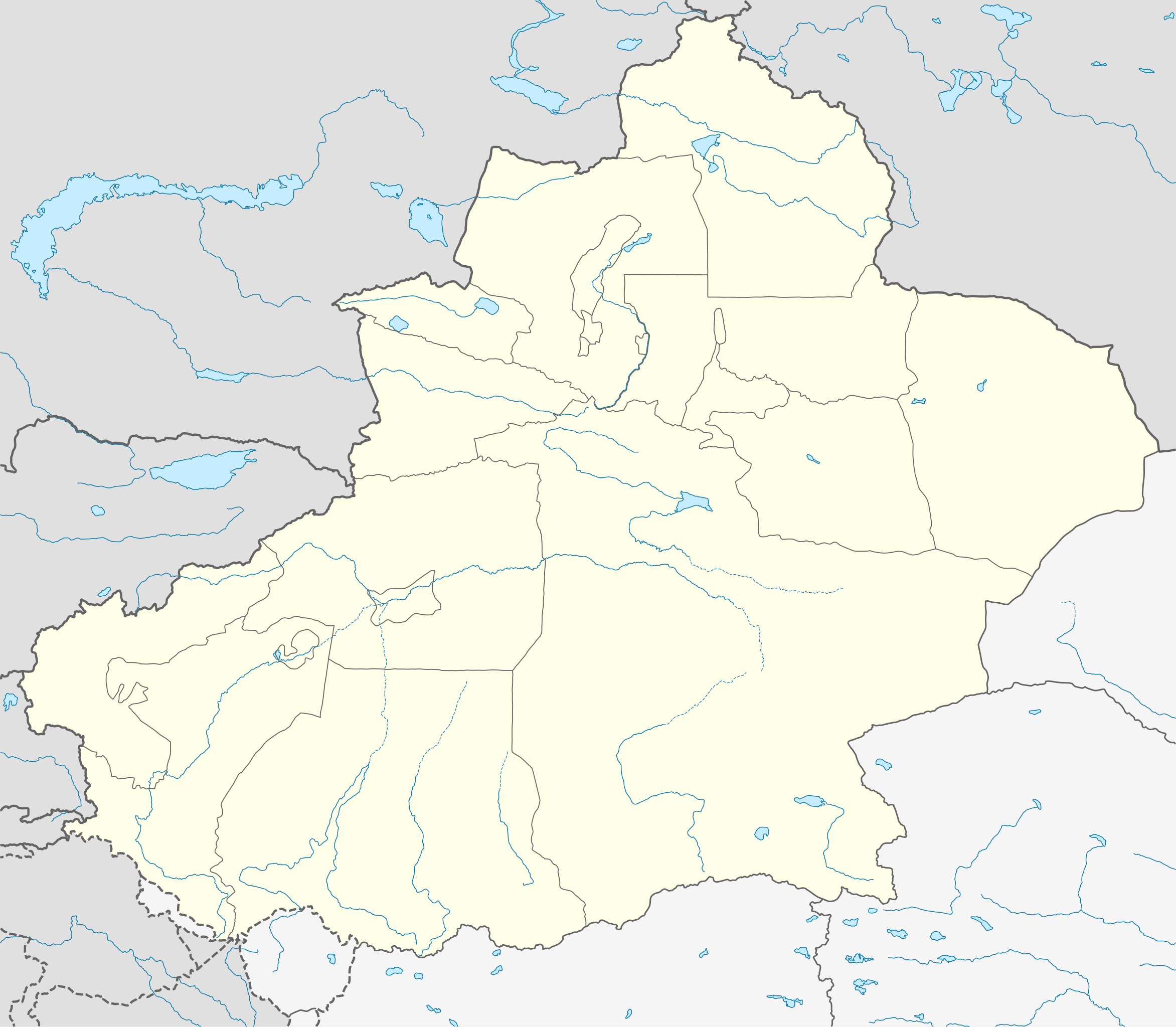
| 当前 | 2020年6月10日 (三) 07:23 | | 2,220 × 1,939(464 KB) | NordNordWest(留言 | 贡献) | corr |
| 2020年6月9日 (二) 22:16 |  | 2,220 × 1,939(470 KB) | Bjh21(留言 | 贡献) | Reverted to version as of 13:31, 9 June 2020 (UTC): COM:UPLOADWAR; at least two users are of the opinion that this change is not minor, and I'm coming close to that view myself | |
| 2020年6月9日 (二) 22:09 |  | 2,220 × 1,939(820 KB) | Geographyinitiative(留言 | 贡献) | Reverted to version as of 01:15, 9 June 2020 (UTC) Incorrect map is incorrect | |
| 2020年6月9日 (二) 13:31 |  | 2,220 × 1,939(470 KB) | NordNordWest(留言 | 贡献) | Reverted to version as of 15:35, 28 December 2012 (UTC) again: only vector data in this svg please | |
| 2020年6月9日 (二) 01:15 |  | 2,220 × 1,939(820 KB) | Geographyinitiative(留言 | 贡献) | Reverted to version as of 05:18, 13 April 2020 (UTC) | |
| 2020年5月24日 (日) 20:48 |  | 2,220 × 1,939(470 KB) | Roy17(留言 | 贡献) | Reverted to version as of 15:35, 28 December 2012 (UTC) | |
| 2020年4月13日 (一) 05:18 |  | 2,220 × 1,939(820 KB) | Geographyinitiative(留言 | 贡献) | Reverted to version as of 06:36, 29 January 2019 (UTC) See talk page | |
| 2019年1月29日 (二) 10:41 |  | 2,220 × 1,939(470 KB) | NordNordWest(留言 | 贡献) | Reverted to version as of 15:35, 28 December 2012 (UTC); only vector data in this svg please | |
| 2019年1月29日 (二) 06:36 |  | 2,220 × 1,939(820 KB) | 复旦大学张超(留言 | 贡献) | edit | |
| 2012年12月28日 (五) 15:35 |  | 2,220 × 1,939(470 KB) | NordNordWest(留言 | 贡献) | upd |
您不可以覆盖此文件。
文件用途
以下3个页面使用本文件:
全域文件用途
以下其他wiki使用此文件:
- ar.wikipedia.org上的用途
- ba.wikipedia.org上的用途
- bg.wikipedia.org上的用途
- ceb.wikipedia.org上的用途
- ce.wikipedia.org上的用途
- ckb.wikipedia.org上的用途
- cs.wikipedia.org上的用途
- en.wikipedia.org上的用途
- eo.wikipedia.org上的用途
- es.wikipedia.org上的用途
- et.wikipedia.org上的用途
- fa.wikipedia.org上的用途
- incubator.wikimedia.org上的用途
- kbd.wikipedia.org上的用途
- kn.wikipedia.org上的用途
- ko.wikipedia.org上的用途
- mk.wikipedia.org上的用途
- or.wikipedia.org上的用途
- pl.wikibooks.org上的用途
- pnb.wikipedia.org上的用途
- ps.wikipedia.org上的用途
- simple.wikipedia.org上的用途
- su.wikipedia.org上的用途
- tr.wikipedia.org上的用途
- vi.wikipedia.org上的用途
- war.wikipedia.org上的用途
- xmf.wikipedia.org上的用途